
Texas black outline icon


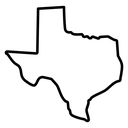
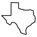
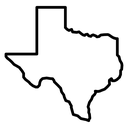
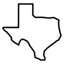
Outline map of the state of Texas showing its panhandle and Gulf coastline
Related tags
About the Texas black outline icon
The outline traces the full border of Texas, with the panhandle squared off at the top left, the narrow western wedge running out toward El Paso and the Gulf coastline curving down to the southern tip along the Rio Grande. Use it for state landing pages, local business listings, travel guides, shipping and coverage maps, and election or census data visualizations.
Borders are drawn as one unbroken stroke, with the coastal and river edges rendered as fine irregular jogs, so the silhouette stays recognizable even when filled solid. It pairs with the other US state maps in the library; below 32 px, switch to a solid fill for clarity.
This is the black outline version of the texas icon: even, monoline strokes that stay crisp at small sizes and suit clean, minimal interfaces, wireframes and light backgrounds.
It downloads free as an SVG vector or transparent PNG in seven sizes, and the free online editor lets you recolor it, apply gold, silver, neon and gradient styles, add animation, or convert it to EPS, PDF and DXF.
Free for personal and commercial use with attribution.